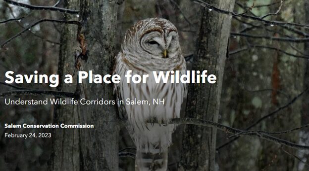
To experience the new Salem ArcGIS Wildlife Storymap, please click HERE.
The Salem Conservation Commission recently posted a new website addition with the goal of providing education on wildlife corridors and needs in Salem. The site was created using tools available through the Town’s GIS program. GIS Manager John Vogl, Conservation Commissioner Georgia Brust, and volunteer April Wheeler created the new addition after months of hard work.
Many people have security or ‘Ring’ cameras and have witnessed the diversity of animals out there, including raccoons, porcupines, deer and even the occasional bobcat. Perhaps most interesting, this ArcGIS storymap presents an opportunity for residents to log their own sightings on a map and view others that have been posted. Perhaps you’ll notice the same animal traveling through different neighborhoods!
In order to map out wildlife spaces, the Town developed two essential map layers: large forest blocks and wildlife corridors. Large forest blocks are those parts of town that are unfragmented by roads and are otherwise distant from buildings, lawns, parking lots or other human impacts. These areas provide food and shelter for the various native species. Forest blocks are presented by size – the larger the block, the better habitat it is. Wildlife Corridors represent a framework connecting the forest blocks together. They are the ‘green infrastructure’ that provide potential connections between different forest blocks through which migratory or long-range animals might travel.
John Vogl described the site as informational, stating that he hopes residents are encouraged to experience and report on what they see outside. “Please, fill out the the wildlife viewer and let the world know what’s out there. Have fun outside in the process”.
You can experience this wonderful tool by visiting the Town’s Conservation Commission page or by clicking the link below:
https://www.salemnh.gov/888/Wildlife-Corridor-ArcGIS-Storymap
